Built here
Cartogenesis
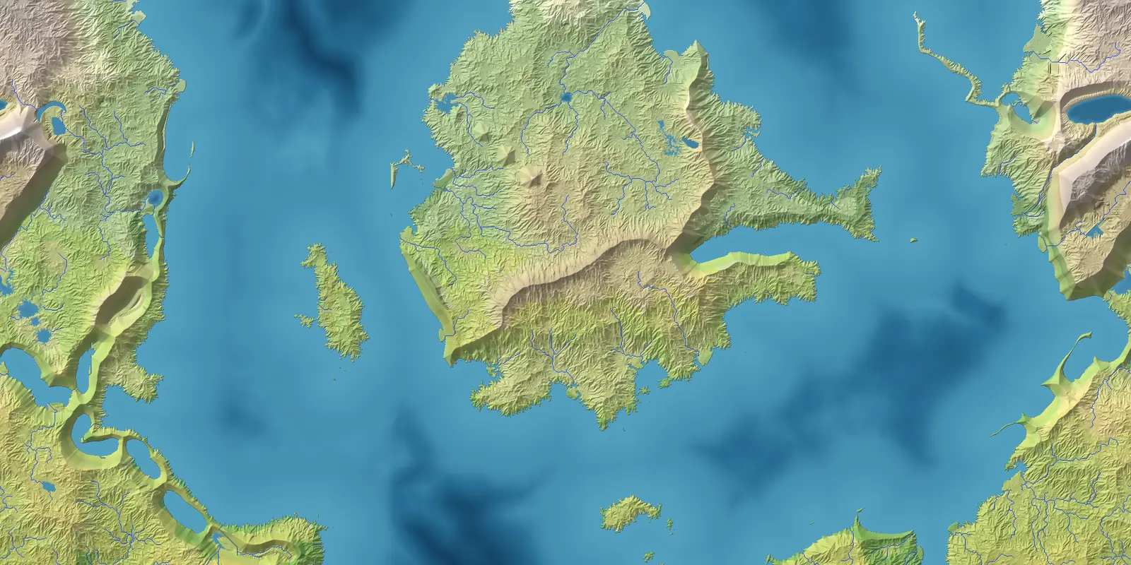
Give it a seed and it builds a world — plates and mountains, rivers and lakes, climate and biomes, realms and peoples — then draws a map you can pan, restyle, save and export.
Runs in your browser. Nothing is uploaded.
The first visit downloads about 4.5 MB; it is cached after that.
How a world is made
Plates and mountains
Drifting plates collide, and what they build depends on what meets: coastal ranges with volcanoes behind them, broad plateaus, island arcs, rift valleys that flood into chains of gulfs.
Erosion
Slopes collapse, rivers cut valleys and carry the debris down to floodplains, fans and deltas. Basins drain through the notches their overflow cuts.
Seas and ice
Continental shelves along the coasts; glaciers in cold mountains and scoured lake country under old ice sheets.
Climate
A warm season and a cold one, ocean currents, continental interiors, monsoons and rain shadows. Biomes follow the Köppen rules, so deserts sit where deserts sit.
Rivers and lakes
Water runs downhill to the sea or into lakes. Dry basins hold only the water their catchment can keep against evaporation, so an inland sea shrinks to a salt lake.
Realms and peoples
Borders follow watersheds, rivers and coasts. Peoples spread through country that resembles their homeland, so cultures cross borders the way real ones do.
What you get
- Map views
- Fifteen: the fantasy map, political and peoples layers, elevation, biomes, temperature and rainfall by season, plates, ocean currents, winds, and more.
- Styles
- Eleven, from an atlas with hypsometric tints to vellum, ink wash, nautical chart, pen-and-ink, Mars and a colour-blind-safe palette.
- Themes
- Fifteen for the window itself: light, dark, high contrast, colour-blind, and styled sets from Nautical and Baroque to Matrix and Hitchcock.
- Editing
- Every generated name and border can be overridden, and the overrides are kept with the world.
- Saving
- A save holds the finished world, so it opens instantly and never changes under you. Save files move between the browser and the desktop app.
- Export
- PNG or WebP up to 4096 × 4096.
- Resolution
- 512 to 4096 cells across. The browser starts at 512; the desktop app is faster and starts at 1024.
- Graphics acceleration
- Optional. Erosion, the slowest part, runs on the graphics processor where the browser offers WebGPU, phones included; the desktop app renders exports there too. On a 2026 phone a 1024 world takes about twenty seconds and 2048 about a minute and a half.
Next
Put a map in the Atlas
Export at 4096, drop the image into the Atlas catalogue and it joins the World → Continent → Region → Local hierarchy alongside the campaign maps.
Open the Atlas editor →Desktop versionWindows
Bigger worlds, more threads and no download before you start. Portable zip or installer. The installer is unsigned, so Windows shows a SmartScreen warning the first time; choose "More info", then "Run anyway".
Get the latest release ↗